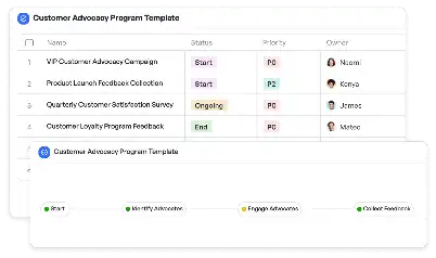
3D Geological Survey Validation
Achieve project success with the 3D Geological Survey Validation today!

What is 3D Geological Survey Validation?
3D Geological Survey Validation is a critical process in the field of geology and geoscience, aimed at ensuring the accuracy and reliability of three-dimensional geological models. These models are used to represent subsurface structures, mineral deposits, and other geological features. The validation process involves collecting data from various sources such as seismic surveys, borehole logs, and remote sensing technologies, and then integrating this data into a cohesive 3D model. This template is particularly important for industries like oil and gas exploration, mining, and environmental studies, where precise geological information is crucial for decision-making. By using the 3D Geological Survey Validation template, teams can streamline the validation process, reduce errors, and ensure compliance with industry standards.
Try this template now
Who is this 3D Geological Survey Validation Template for?
The 3D Geological Survey Validation template is designed for geologists, geophysicists, mining engineers, and environmental scientists who work in industries that require detailed geological analysis. Typical roles include exploration managers in oil and gas companies, project managers in mining operations, and researchers in academic institutions. This template is also suitable for government agencies involved in land use planning and environmental impact assessments. By providing a structured framework for validating geological data, the template helps these professionals focus on their core tasks while ensuring the accuracy and reliability of their findings.

Try this template now
Why use this 3D Geological Survey Validation?
The 3D Geological Survey Validation template addresses several pain points specific to geological surveys. For instance, integrating data from multiple sources can be challenging due to differences in formats and resolutions. This template provides tools for seamless data integration, ensuring that all information is compatible and usable. Another common issue is the difficulty in visualizing complex subsurface structures, which can lead to misinterpretations. The template includes visualization tools that make it easier to understand and analyze 3D models. Additionally, the validation process often requires collaboration among various stakeholders, such as geologists, engineers, and decision-makers. The template facilitates this collaboration by providing a clear workflow and communication channels, ensuring that everyone is on the same page.

Try this template now
Get Started with the 3D Geological Survey Validation
Follow these simple steps to get started with Meegle templates:
1. Click 'Get this Free Template Now' to sign up for Meegle.
2. After signing up, you will be redirected to the 3D Geological Survey Validation. Click 'Use this Template' to create a version of this template in your workspace.
3. Customize the workflow and fields of the template to suit your specific needs.
4. Start using the template and experience the full potential of Meegle!
Try this template now
Free forever for teams up to 20!
The world’s #1 visualized project management tool
Powered by the next gen visual workflow engine


