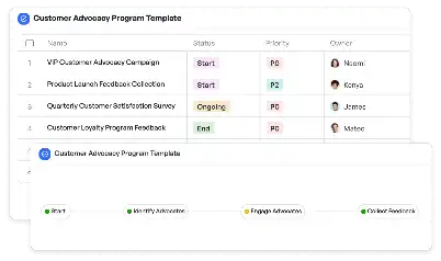
LTE Positioning Reference Signals Map
Achieve project success with the LTE Positioning Reference Signals Map today!

What is LTE Positioning Reference Signals Map?
The LTE Positioning Reference Signals Map is a critical tool in the telecommunications industry, designed to enhance the accuracy of LTE network positioning. This map leverages Positioning Reference Signals (PRS) to provide precise geolocation data, which is essential for applications such as emergency services, navigation, and network optimization. By visualizing the distribution and strength of PRS across a geographic area, this map enables network engineers to identify coverage gaps, optimize signal strength, and ensure seamless connectivity. In real-world scenarios, the LTE Positioning Reference Signals Map is indispensable for urban planning, where high-density areas require meticulous signal distribution to avoid interference and ensure reliable service.
Try this template now
Who is this LTE Positioning Reference Signals Map Template for?
This template is tailored for professionals in the telecommunications sector, including network engineers, planners, and analysts. It is particularly beneficial for teams working on LTE network deployment, optimization, and maintenance. Typical roles that would find this template invaluable include RF engineers tasked with signal optimization, project managers overseeing network expansion, and data analysts interpreting signal strength and coverage data. Additionally, emergency response teams and urban planners can utilize this map to ensure robust communication networks in critical areas.

Try this template now
Why use this LTE Positioning Reference Signals Map?
The LTE Positioning Reference Signals Map addresses several pain points in LTE network management. For instance, identifying and resolving coverage gaps in high-density urban areas can be challenging without a clear visualization of PRS distribution. This template provides a structured approach to map and analyze signal strength, enabling teams to pinpoint weak spots and implement targeted solutions. Moreover, it facilitates efficient resource allocation by highlighting areas that require immediate attention, such as regions with poor signal quality or high interference. By using this map, teams can ensure optimal network performance, enhance user experience, and support critical applications like emergency services and IoT deployments.

Try this template now
Get Started with the LTE Positioning Reference Signals Map
Follow these simple steps to get started with Meegle templates:
1. Click 'Get this Free Template Now' to sign up for Meegle.
2. After signing up, you will be redirected to the LTE Positioning Reference Signals Map. Click 'Use this Template' to create a version of this template in your workspace.
3. Customize the workflow and fields of the template to suit your specific needs.
4. Start using the template and experience the full potential of Meegle!
Try this template now
Free forever for teams up to 20!
The world’s #1 visualized project management tool
Powered by the next gen visual workflow engine


