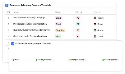
GPS Accuracy Improvement Plan
Achieve project success with the GPS Accuracy Improvement Plan today!

What is GPS Accuracy Improvement Plan?
The GPS Accuracy Improvement Plan is a structured framework designed to enhance the precision of GPS systems across various applications. With the increasing reliance on GPS for navigation, tracking, and location-based services, ensuring accuracy has become a critical need. This plan addresses common challenges such as signal interference, hardware limitations, and algorithm inefficiencies. By implementing this plan, organizations can achieve higher reliability in GPS data, which is essential for industries like transportation, logistics, and emergency response. For instance, in urban environments where tall buildings often disrupt GPS signals, this plan provides strategies to mitigate such issues, ensuring seamless navigation and tracking.
Try this template now
Who is this GPS Accuracy Improvement Plan Template for?
This GPS Accuracy Improvement Plan template is tailored for professionals and organizations that depend on precise GPS data. Key users include transportation companies aiming to optimize fleet tracking, logistics managers ensuring timely deliveries, and emergency response teams requiring accurate location data for critical operations. Additionally, it serves technology developers working on GPS-enabled devices, urban planners addressing navigation challenges in dense areas, and researchers analyzing geospatial data. By using this template, these stakeholders can systematically address GPS accuracy challenges and implement effective solutions.

Try this template now
Why use this GPS Accuracy Improvement Plan?
The GPS Accuracy Improvement Plan directly addresses pain points such as signal interference in urban canyons, inaccuracies in rural or remote areas, and delays in real-time tracking. For example, transportation companies often face challenges in maintaining accurate fleet locations due to signal disruptions. This template provides actionable steps to calibrate hardware, optimize algorithms, and conduct field testing, ensuring reliable GPS data. Similarly, emergency response teams can benefit from enhanced accuracy to locate incidents faster, saving lives. By adopting this plan, users can overcome these specific challenges and achieve unparalleled precision in their GPS operations.

Try this template now
Get Started with the GPS Accuracy Improvement Plan
Follow these simple steps to get started with Meegle templates:
1. Click 'Get this Free Template Now' to sign up for Meegle.
2. After signing up, you will be redirected to the GPS Accuracy Improvement Plan. Click 'Use this Template' to create a version of this template in your workspace.
3. Customize the workflow and fields of the template to suit your specific needs.
4. Start using the template and experience the full potential of Meegle!
Try this template now
Free forever for teams up to 20!
The world’s #1 visualized project management tool
Powered by the next gen visual workflow engine


