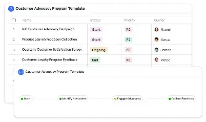
Aid Distribution GPS Tracking System
Achieve project success with the Aid Distribution GPS Tracking System today!

What is Aid Distribution GPS Tracking System?
The Aid Distribution GPS Tracking System is a specialized tool designed to streamline the process of delivering essential aid to areas in need. This system leverages GPS technology to ensure that resources such as food, medical supplies, and other essentials are delivered to the right locations efficiently and accurately. In disaster relief scenarios, where time is of the essence, this system plays a critical role in minimizing delays and ensuring that aid reaches the affected populations promptly. By integrating real-time tracking, route optimization, and resource allocation, the system addresses the unique challenges of aid distribution, such as navigating through difficult terrains, coordinating multiple teams, and managing limited resources. For instance, during a flood relief operation, the system can help identify the most accessible routes to deliver supplies to stranded communities, ensuring no one is left behind.
Try this template now
Who is this Aid Distribution GPS Tracking System Template for?
This template is ideal for organizations and individuals involved in humanitarian aid and disaster relief operations. Key users include non-governmental organizations (NGOs), government agencies, and logistics teams responsible for managing aid distribution. Typical roles that benefit from this system include field coordinators, logistics managers, and relief workers. For example, an NGO operating in a flood-affected region can use this system to coordinate the delivery of food and medical supplies to multiple locations simultaneously. Similarly, government agencies can deploy the system to monitor and manage the distribution of resources during a national emergency, ensuring transparency and accountability. Relief workers on the ground can also use the system to report real-time updates, enabling better decision-making and resource allocation.

Try this template now
Why use this Aid Distribution GPS Tracking System?
The Aid Distribution GPS Tracking System addresses several critical pain points in the aid distribution process. One of the primary challenges is ensuring that resources are delivered to the right locations without delays. This system provides real-time tracking and route optimization, enabling teams to navigate through challenging terrains and avoid potential obstacles. Another common issue is the lack of transparency and accountability in resource allocation. By integrating GPS tracking and reporting features, the system ensures that every delivery is documented and verified, reducing the risk of mismanagement. Additionally, coordinating multiple teams and resources in a high-pressure environment can be overwhelming. The system simplifies this process by providing a centralized platform for planning, monitoring, and executing aid distribution tasks. For instance, during an earthquake relief operation, the system can help prioritize deliveries to the most affected areas, ensuring that critical resources are allocated where they are needed the most.

Try this template now
Get Started with the Aid Distribution GPS Tracking System
Follow these simple steps to get started with Meegle templates:
1. Click 'Get this Free Template Now' to sign up for Meegle.
2. After signing up, you will be redirected to the Aid Distribution GPS Tracking System. Click 'Use this Template' to create a version of this template in your workspace.
3. Customize the workflow and fields of the template to suit your specific needs.
4. Start using the template and experience the full potential of Meegle!
Try this template now
Free forever for teams up to 20!
The world’s #1 visualized project management tool
Powered by the next gen visual workflow engine


