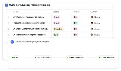
Airport GIS Mapping Update Template
Achieve project success with the Airport GIS Mapping Update Template today!

What is Airport GIS Mapping Update Template?
The Airport GIS Mapping Update Template is a specialized tool designed to streamline the process of updating Geographic Information System (GIS) data for airports. Airports rely heavily on GIS for managing spatial data related to runways, terminals, air traffic zones, and surrounding infrastructure. This template provides a structured framework for collecting, analyzing, and updating GIS data, ensuring accuracy and compliance with aviation standards. For instance, when an airport undergoes expansion or renovation, GIS mapping updates are critical to reflect changes in infrastructure and operational zones. By using this template, teams can efficiently manage these updates, reducing errors and ensuring seamless integration with existing systems.
Try this template now
Who is this Airport GIS Mapping Update Template Template for?
This template is ideal for airport planners, GIS analysts, and project managers involved in aviation infrastructure projects. Typical roles include airport operations managers who oversee spatial data updates, GIS specialists responsible for data accuracy, and civil engineers working on airport expansions. Additionally, it serves consultants and contractors who need a reliable framework for managing GIS data during airport development projects. Whether you're updating runway layouts, terminal designs, or air traffic control zones, this template is tailored to meet the needs of professionals in the aviation industry.

Try this template now
Why use this Airport GIS Mapping Update Template?
Updating GIS data for airports can be a complex and time-consuming task, often involving multiple stakeholders and intricate spatial data. The Airport GIS Mapping Update Template addresses these challenges by providing a clear workflow for data collection, analysis, and mapping design. For example, it helps GIS analysts ensure that updated maps accurately reflect changes in runway dimensions or terminal layouts. It also facilitates stakeholder reviews, allowing airport authorities to validate updates before implementation. By using this template, teams can avoid common pitfalls such as data inconsistencies, missed deadlines, and regulatory non-compliance, making it an indispensable tool for airport GIS projects.

Try this template now
Get Started with the Airport GIS Mapping Update Template
Follow these simple steps to get started with Meegle templates:
1. Click 'Get this Free Template Now' to sign up for Meegle.
2. After signing up, you will be redirected to the Airport GIS Mapping Update Template. Click 'Use this Template' to create a version of this template in your workspace.
3. Customize the workflow and fields of the template to suit your specific needs.
4. Start using the template and experience the full potential of Meegle!
Try this template now
Free forever for teams up to 20!
The world’s #1 visualized project management tool
Powered by the next gen visual workflow engine


