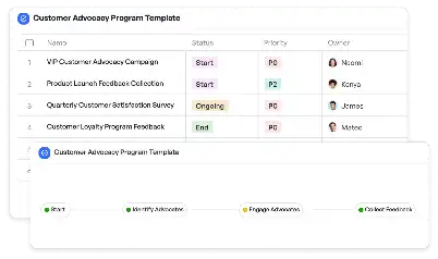
Spatial Mapping Update Procedure
Achieve project success with the Spatial Mapping Update Procedure today!

What is Spatial Mapping Update Procedure?
The Spatial Mapping Update Procedure is a systematic approach designed to ensure that spatial data remains accurate and up-to-date. This procedure is critical in industries such as urban planning, autonomous vehicle navigation, and geographic information systems (GIS). By leveraging advanced tools and methodologies, the Spatial Mapping Update Procedure allows teams to collect, validate, and integrate new spatial data seamlessly. For example, in the context of autonomous vehicles, accurate spatial mapping is essential to ensure safe navigation and route optimization. The procedure involves steps like data collection, map alignment, and sensor calibration, making it indispensable for maintaining the integrity of spatial datasets.
Try this template now
Who is this Spatial Mapping Update Procedure Template for?
The Spatial Mapping Update Procedure Template is tailored for professionals and teams working in fields that rely heavily on spatial data. This includes urban planners, GIS specialists, autonomous vehicle engineers, and environmental researchers. For instance, a city planner might use this template to update zoning maps, while an autonomous vehicle team could employ it to refine navigation maps. Typical roles benefiting from this template include data analysts, project managers, and field surveyors, all of whom require a structured approach to manage spatial data updates effectively.

Try this template now
Why use this Spatial Mapping Update Procedure?
The Spatial Mapping Update Procedure addresses specific challenges such as data inconsistency, outdated maps, and integration issues. For example, in urban planning, outdated spatial data can lead to flawed infrastructure decisions. This template provides a clear framework to tackle these issues by ensuring data accuracy, streamlining the update process, and facilitating collaboration among stakeholders. Additionally, it incorporates best practices for sensor calibration and data validation, which are crucial for applications like autonomous navigation and environmental monitoring. By using this template, teams can mitigate risks associated with inaccurate spatial data and enhance the reliability of their projects.

Try this template now
Get Started with the Spatial Mapping Update Procedure
Follow these simple steps to get started with Meegle templates:
1. Click 'Get this Free Template Now' to sign up for Meegle.
2. After signing up, you will be redirected to the Spatial Mapping Update Procedure. Click 'Use this Template' to create a version of this template in your workspace.
3. Customize the workflow and fields of the template to suit your specific needs.
4. Start using the template and experience the full potential of Meegle!
Try this template now
Free forever for teams up to 20!
The world’s #1 visualized project management tool
Powered by the next gen visual workflow engine


