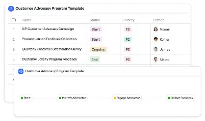
Emission Source Geospatial Mapping Template
Achieve project success with the Emission Source Geospatial Mapping Template today!

What is Emission Source Geospatial Mapping Template?
The Emission Source Geospatial Mapping Template is a specialized tool designed to identify, analyze, and visualize emission sources across various geographical locations. This template is particularly valuable in industries such as environmental science, urban planning, and industrial monitoring, where understanding the spatial distribution of emissions is critical. By leveraging geospatial data, the template enables users to pinpoint emission hotspots, assess their impact, and develop strategies for mitigation. For example, in urban areas, it can be used to map vehicle emissions and their contribution to air quality degradation, providing actionable insights for policymakers and environmental agencies.
Try this template now
Who is this Emission Source Geospatial Mapping Template Template for?
This template is ideal for professionals and organizations involved in environmental monitoring, urban planning, and industrial compliance. Typical users include environmental scientists, urban planners, industrial facility managers, and government agencies tasked with monitoring and regulating emissions. For instance, an environmental scientist might use the template to study the impact of emissions from power plants on local air quality, while urban planners could leverage it to design city layouts that minimize vehicular emissions. Additionally, regulatory bodies can utilize the template to ensure industries comply with emission standards.

Try this template now
Why use this Emission Source Geospatial Mapping Template?
The Emission Source Geospatial Mapping Template addresses specific challenges in identifying and managing emission sources. For example, pinpointing emission hotspots in large urban areas can be daunting without a structured approach. This template simplifies the process by integrating geospatial data with emission metrics, allowing users to visualize and analyze data effectively. It also helps in identifying trends, such as seasonal variations in emissions or the impact of new industrial activities. By providing a clear framework for data collection, analysis, and reporting, the template ensures that users can make informed decisions to mitigate environmental impacts and comply with regulations.

Try this template now
Get Started with the Emission Source Geospatial Mapping Template
Follow these simple steps to get started with Meegle templates:
1. Click 'Get this Free Template Now' to sign up for Meegle.
2. After signing up, you will be redirected to the Emission Source Geospatial Mapping Template. Click 'Use this Template' to create a version of this template in your workspace.
3. Customize the workflow and fields of the template to suit your specific needs.
4. Start using the template and experience the full potential of Meegle!
Try this template now
Free forever for teams up to 20!
The world’s #1 visualized project management tool
Powered by the next gen visual workflow engine


