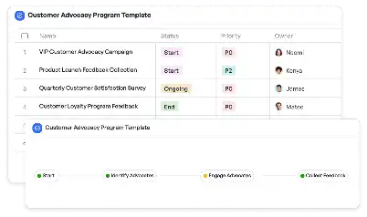
Climate Scenario Localization Protocol
Achieve project success with the Climate Scenario Localization Protocol today!

What is Climate Scenario Localization Protocol?
The Climate Scenario Localization Protocol is a structured framework designed to adapt global climate scenarios to specific local contexts. This protocol is essential for understanding how global climate trends, such as rising temperatures or increased precipitation, will uniquely impact different regions. By localizing these scenarios, stakeholders can make informed decisions tailored to their specific environmental, social, and economic conditions. For instance, a coastal city might use this protocol to assess the risk of sea-level rise, while an agricultural region might focus on changes in rainfall patterns. The protocol integrates scientific data, regional expertise, and advanced modeling techniques to provide actionable insights. Its importance lies in bridging the gap between global climate models and local decision-making, ensuring that adaptation strategies are both relevant and effective.
Try this template now
Who is this Climate Scenario Localization Protocol Template for?
This template is designed for a diverse range of users who are involved in climate adaptation and planning. Key users include urban planners, environmental scientists, policymakers, and community leaders. Urban planners can use the protocol to design resilient infrastructure, while environmental scientists can apply it to study localized climate impacts. Policymakers can leverage the insights to draft region-specific climate policies, and community leaders can use it to engage local populations in climate adaptation efforts. Additionally, businesses operating in climate-sensitive industries, such as agriculture, real estate, and insurance, can benefit from this protocol to mitigate risks and seize opportunities arising from localized climate changes.

Try this template now
Why use this Climate Scenario Localization Protocol?
The Climate Scenario Localization Protocol addresses several critical challenges in climate adaptation. One major pain point is the lack of actionable data at the local level. Global climate models often fail to capture the nuances of specific regions, leaving stakeholders with a gap in actionable insights. This protocol solves that by integrating localized data and expertise, providing a clear picture of regional climate impacts. Another challenge is the complexity of translating scientific data into practical strategies. The protocol simplifies this process by offering a step-by-step framework that guides users from data collection to actionable recommendations. Furthermore, it fosters collaboration among diverse stakeholders, ensuring that adaptation strategies are comprehensive and inclusive. By using this protocol, users can make informed decisions that are both scientifically sound and contextually relevant.

Try this template now
Get Started with the Climate Scenario Localization Protocol
Follow these simple steps to get started with Meegle templates:
1. Click 'Get this Free Template Now' to sign up for Meegle.
2. After signing up, you will be redirected to the Climate Scenario Localization Protocol. Click 'Use this Template' to create a version of this template in your workspace.
3. Customize the workflow and fields of the template to suit your specific needs.
4. Start using the template and experience the full potential of Meegle!
Try this template now
Free forever for teams up to 20!
The world’s #1 visualized project management tool
Powered by the next gen visual workflow engine


