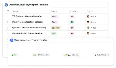
Underground Conduit Mapping Template
Achieve project success with the Underground Conduit Mapping Template today!

What is Underground Conduit Mapping Template?
The Underground Conduit Mapping Template is a specialized tool designed to streamline the process of mapping underground utility conduits. This template is essential for industries such as construction, urban planning, and utility management, where accurate mapping of underground infrastructure is critical. By using this template, teams can ensure that all necessary data points, such as conduit dimensions, material types, and spatial coordinates, are captured systematically. The importance of this template lies in its ability to prevent costly errors, such as accidental damage to existing utilities during excavation or construction. For example, in urban development projects, the Underground Conduit Mapping Template can help planners visualize the underground layout, ensuring that new installations do not interfere with existing infrastructure.
Try this template now
Who is this Underground Conduit Mapping Template for?
This template is ideal for professionals involved in urban planning, construction, and utility management. Typical users include civil engineers, GIS specialists, project managers, and utility maintenance teams. For instance, a civil engineer working on a new highway project can use this template to map out existing underground conduits, ensuring that the construction does not disrupt essential services. Similarly, a GIS specialist can integrate the data collected using this template into geographic information systems for better visualization and analysis. Utility companies can also benefit from this template by maintaining an up-to-date record of their underground assets, which is crucial for maintenance and emergency response.

Try this template now
Why use this Underground Conduit Mapping Template?
The Underground Conduit Mapping Template addresses several pain points specific to underground utility mapping. One major challenge is the lack of standardized documentation, which can lead to inconsistencies and errors. This template provides a structured format for recording all relevant data, ensuring accuracy and uniformity. Another issue is the difficulty in visualizing underground layouts, especially in densely populated urban areas. By using this template, teams can create detailed maps that make it easier to plan new installations or repairs. Additionally, the template helps in risk mitigation by identifying potential conflicts between existing and proposed infrastructure. For example, during a city-wide fiber optic cable installation project, this template can help identify areas where the new cables might intersect with existing water or gas lines, allowing for adjustments to be made before any damage occurs.

Try this template now
Get Started with the Underground Conduit Mapping Template
Follow these simple steps to get started with Meegle templates:
1. Click 'Get this Free Template Now' to sign up for Meegle.
2. After signing up, you will be redirected to the Underground Conduit Mapping Template. Click 'Use this Template' to create a version of this template in your workspace.
3. Customize the workflow and fields of the template to suit your specific needs.
4. Start using the template and experience the full potential of Meegle!
Try this template now
Free forever for teams up to 20!
The world’s #1 visualized project management tool
Powered by the next gen visual workflow engine


