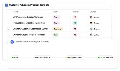
Active Landslide Monitoring Response System
Achieve project success with the Active Landslide Monitoring Response System today!

What is Active Landslide Monitoring Response System?
The Active Landslide Monitoring Response System is a specialized framework designed to address the critical need for real-time monitoring and response to landslide events. Landslides pose significant risks to infrastructure, human lives, and the environment, especially in regions prone to geological instability. This system integrates advanced sensor technology, data analytics, and automated response mechanisms to provide timely alerts and actionable insights. By leveraging cutting-edge tools, the system ensures that stakeholders can mitigate risks effectively and safeguard vulnerable areas. For instance, in mountainous regions, the system can detect early signs of soil movement, enabling proactive measures to prevent catastrophic events.
Try this template now
Who is this Active Landslide Monitoring Response System Template for?
This template is ideal for geologists, civil engineers, urban planners, and emergency response teams who are directly involved in managing landslide risks. It is also suitable for government agencies, environmental organizations, and private companies operating in landslide-prone areas. Typical roles include disaster management specialists, infrastructure maintenance teams, and environmental scientists. For example, a mining company can use this system to monitor the stability of excavation sites, while a city planner can deploy it to safeguard urban areas near unstable slopes.

Try this template now
Why use this Active Landslide Monitoring Response System?
Landslides often occur without warning, leading to devastating consequences. The Active Landslide Monitoring Response System addresses specific pain points such as delayed detection, lack of actionable data, and inefficient response strategies. By providing real-time monitoring and predictive analytics, the system enables stakeholders to act swiftly and decisively. For example, the system can identify high-risk zones based on soil moisture levels and seismic activity, allowing for targeted interventions. Additionally, its automated alert mechanisms ensure that emergency teams are notified immediately, reducing response times and minimizing damage. This template is particularly valuable in scenarios where traditional monitoring methods are insufficient or impractical.

Try this template now
Get Started with the Active Landslide Monitoring Response System
Follow these simple steps to get started with Meegle templates:
1. Click 'Get this Free Template Now' to sign up for Meegle.
2. After signing up, you will be redirected to the Active Landslide Monitoring Response System. Click 'Use this Template' to create a version of this template in your workspace.
3. Customize the workflow and fields of the template to suit your specific needs.
4. Start using the template and experience the full potential of Meegle!
Try this template now
Free forever for teams up to 20!
The world’s #1 visualized project management tool
Powered by the next gen visual workflow engine


