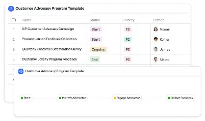
Location History Accuracy Template
Achieve project success with the Location History Accuracy Template today!

What is Location History Accuracy Template?
The Location History Accuracy Template is a specialized tool designed to ensure the precision and reliability of location data across various applications. In industries such as logistics, urban planning, and emergency response, accurate location history is critical for decision-making and operational efficiency. This template provides a structured framework for collecting, validating, and analyzing location data, ensuring that historical records are both accurate and actionable. By leveraging this template, teams can address common challenges such as data inconsistencies, outdated records, and errors in geolocation tracking, making it an indispensable resource for professionals who rely on precise location data.
Try this template now
Who is this Location History Accuracy Template Template for?
The Location History Accuracy Template is ideal for professionals and teams working in fields where location data plays a pivotal role. Typical users include logistics managers optimizing delivery routes, urban planners assessing historical location trends, emergency response coordinators ensuring accurate dispatch locations, and data analysts reviewing geolocation records for insights. Additionally, businesses in retail, healthcare, and transportation can benefit from this template to validate store locations, patient addresses, or fleet tracking data. Whether you're a data scientist, project manager, or GIS specialist, this template is tailored to meet the needs of anyone requiring reliable location history data.

Try this template now
Why use this Location History Accuracy Template?
Using the Location History Accuracy Template addresses specific pain points associated with managing and analyzing location data. For instance, logistics teams often struggle with inaccurate delivery addresses, leading to delays and inefficiencies. This template provides tools to validate and correct such data, ensuring smooth operations. Urban planners can use it to analyze historical location trends, aiding in infrastructure development and resource allocation. Emergency response teams benefit from accurate location history to improve dispatch accuracy and response times. By offering a structured approach to data collection, validation, and analysis, this template empowers users to overcome these challenges and make informed decisions based on reliable location data.

Try this template now
Get Started with the Location History Accuracy Template
Follow these simple steps to get started with Meegle templates:
1. Click 'Get this Free Template Now' to sign up for Meegle.
2. After signing up, you will be redirected to the Location History Accuracy Template. Click 'Use this Template' to create a version of this template in your workspace.
3. Customize the workflow and fields of the template to suit your specific needs.
4. Start using the template and experience the full potential of Meegle!
Try this template now
Free forever for teams up to 20!
The world’s #1 visualized project management tool
Powered by the next gen visual workflow engine


