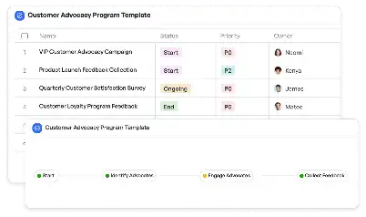
Water Pressure Zone Mapping Template
Achieve project success with the Water Pressure Zone Mapping Template today!

What is Water Pressure Zone Mapping Template?
The Water Pressure Zone Mapping Template is a specialized tool designed to assist urban planners, engineers, and utility managers in visualizing and managing water pressure zones within a given area. This template is particularly critical in ensuring that water distribution systems operate efficiently, avoiding issues such as low pressure in high-demand areas or excessive pressure that could damage infrastructure. By leveraging this template, users can map out zones based on pressure levels, identify potential problem areas, and plan for infrastructure improvements. For example, in a city with varying elevations, this template helps in segmenting zones to ensure equitable water distribution across all neighborhoods.
Try this template now
Who is this Water Pressure Zone Mapping Template for?
This template is ideal for professionals in the water utility and urban planning sectors. Typical users include civil engineers, municipal planners, and utility managers who are responsible for designing and maintaining water distribution systems. For instance, a city engineer tasked with upgrading an aging water system can use this template to identify zones that require immediate attention. Similarly, a utility manager overseeing water supply in a rapidly growing urban area can rely on this template to ensure that new developments are adequately served without compromising existing infrastructure.

Try this template now
Why use this Water Pressure Zone Mapping Template?
One of the primary challenges in water distribution is managing pressure levels across diverse terrains and varying demand patterns. Without a clear mapping of pressure zones, utilities risk over-pressurizing certain areas, leading to pipe bursts, or under-pressurizing others, resulting in inadequate water supply. The Water Pressure Zone Mapping Template addresses these issues by providing a structured framework for analyzing and visualizing pressure zones. For example, it allows users to overlay pressure data on geographic maps, making it easier to pinpoint areas of concern. Additionally, the template facilitates collaboration among stakeholders by presenting data in an easily understandable format, ensuring that decisions are well-informed and actionable.

Try this template now
Get Started with the Water Pressure Zone Mapping Template
Follow these simple steps to get started with Meegle templates:
1. Click 'Get this Free Template Now' to sign up for Meegle.
2. After signing up, you will be redirected to the Water Pressure Zone Mapping Template. Click 'Use this Template' to create a version of this template in your workspace.
3. Customize the workflow and fields of the template to suit your specific needs.
4. Start using the template and experience the full potential of Meegle!
Try this template now
Free forever for teams up to 20!
The world’s #1 visualized project management tool
Powered by the next gen visual workflow engine


