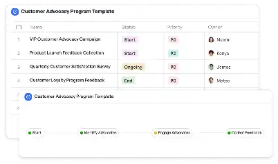
Geotechnical Investigation Protocol
Achieve project success with the Geotechnical Investigation Protocol today!

What is Geotechnical Investigation Protocol?
The Geotechnical Investigation Protocol is a structured framework designed to guide professionals in assessing subsurface conditions for construction and engineering projects. This protocol is essential for understanding soil, rock, and groundwater conditions, which are critical for ensuring the safety and stability of structures. By following this protocol, engineers can identify potential risks such as soil instability, contamination, or seismic vulnerabilities. For example, during the planning phase of a high-rise building, the protocol ensures that the foundation design is tailored to the specific geotechnical conditions of the site, minimizing risks and optimizing resource allocation.
Try this template now
Who is this Geotechnical Investigation Protocol Template for?
This template is tailored for geotechnical engineers, civil engineers, project managers, and environmental consultants. It is particularly useful for professionals involved in infrastructure development, urban planning, and environmental impact assessments. For instance, a civil engineer working on a highway project can use this protocol to evaluate soil stability along the proposed route, while an environmental consultant might rely on it to assess potential contamination at a brownfield site. The template provides a standardized approach, making it accessible even to teams with varying levels of expertise in geotechnical investigations.

Try this template now
Why use this Geotechnical Investigation Protocol?
The Geotechnical Investigation Protocol addresses specific challenges in subsurface exploration, such as inconsistent data collection, misinterpretation of soil properties, and overlooked environmental factors. By using this template, teams can ensure comprehensive site assessments, accurate data analysis, and clear documentation. For example, during a bridge construction project, the protocol helps identify potential risks like soil liquefaction or erosion, enabling proactive mitigation measures. Additionally, the template streamlines communication among stakeholders by providing a clear and consistent framework, reducing the likelihood of costly errors or delays.

Try this template now
Get Started with the Geotechnical Investigation Protocol
Follow these simple steps to get started with Meegle templates:
1. Click 'Get this Free Template Now' to sign up for Meegle.
2. After signing up, you will be redirected to the Geotechnical Investigation Protocol. Click 'Use this Template' to create a version of this template in your workspace.
3. Customize the workflow and fields of the template to suit your specific needs.
4. Start using the template and experience the full potential of Meegle!
Try this template now
Free forever for teams up to 20!
The world’s #1 visualized project management tool
Powered by the next gen visual workflow engine


