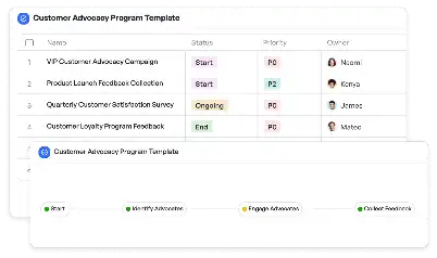
Participatory GIS Mapping Template
Achieve project success with the Participatory GIS Mapping Template today!

What is Participatory GIS Mapping Template?
Participatory GIS Mapping Template is a structured framework designed to facilitate collaborative geographic information system (GIS) mapping projects. This template is particularly valuable in scenarios where community involvement is critical, such as urban planning, disaster management, and resource allocation. By integrating local knowledge with spatial data, the template ensures that the resulting maps are both accurate and reflective of the community's needs. For example, in disaster-prone areas, this template can be used to map flood zones by combining satellite imagery with input from local residents who have firsthand experience of flood patterns. This participatory approach not only enhances the accuracy of the data but also fosters a sense of ownership and accountability among stakeholders.
Try this template now
Who is this Participatory GIS Mapping Template Template for?
The Participatory GIS Mapping Template is ideal for a diverse range of users, including urban planners, environmental scientists, community leaders, and non-governmental organizations (NGOs). Urban planners can use it to engage communities in designing sustainable city layouts. Environmental scientists might find it useful for mapping biodiversity hotspots with input from local communities. Community leaders can leverage the template to identify and address resource allocation issues, such as access to clean water or healthcare facilities. NGOs working in disaster management can use the template to create evacuation maps that incorporate local knowledge. Essentially, this template is for anyone who values the integration of community insights into GIS mapping projects.

Try this template now
Why use this Participatory GIS Mapping Template?
The Participatory GIS Mapping Template addresses several pain points specific to collaborative mapping projects. One common challenge is the lack of a standardized process for integrating community input into GIS data. This template provides a clear framework for collecting, analyzing, and visualizing spatial data in a participatory manner. Another issue is the potential for miscommunication between technical experts and community members. The template includes tools and guidelines to bridge this gap, ensuring that all stakeholders are on the same page. Additionally, the template is designed to handle the complexities of multi-stakeholder projects, such as coordinating data collection efforts and managing conflicting priorities. By using this template, organizations can create maps that are not only technically accurate but also socially relevant and actionable.

Try this template now
Get Started with the Participatory GIS Mapping Template
Follow these simple steps to get started with Meegle templates:
1. Click 'Get this Free Template Now' to sign up for Meegle.
2. After signing up, you will be redirected to the Participatory GIS Mapping Template. Click 'Use this Template' to create a version of this template in your workspace.
3. Customize the workflow and fields of the template to suit your specific needs.
4. Start using the template and experience the full potential of Meegle!
Try this template now
Free forever for teams up to 20!
The world’s #1 visualized project management tool
Powered by the next gen visual workflow engine


