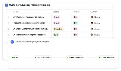
3D Geological Model Validation
Achieve project success with the 3D Geological Model Validation today!

What is 3D Geological Model Validation?
3D Geological Model Validation is a critical process in the geosciences and engineering fields, ensuring that geological models accurately represent subsurface conditions. This process involves verifying the accuracy of 3D geological models created using data from sources such as seismic surveys, borehole logs, and geophysical measurements. The importance of this validation lies in its ability to minimize risks in resource exploration, infrastructure development, and environmental management. For instance, in oil and gas exploration, a validated geological model can significantly reduce the chances of drilling dry wells. Similarly, in mining, it ensures that excavation plans are based on reliable geological data, optimizing resource extraction while minimizing environmental impact.
Try this template now
Who is this 3D Geological Model Validation Template for?
This template is designed for geoscientists, engineers, and project managers working in industries such as oil and gas, mining, geothermal energy, and urban planning. Typical roles include geologists, geophysicists, reservoir engineers, and environmental consultants. For example, a geologist might use this template to validate a model of a mining site, ensuring that the proposed excavation aligns with the actual subsurface conditions. Similarly, a reservoir engineer could use it to confirm the accuracy of a hydrocarbon reservoir model before making investment decisions. Urban planners can also benefit from this template when assessing geological risks for infrastructure projects, such as tunnels or high-rise buildings.

Try this template now
Why use this 3D Geological Model Validation?
The 3D Geological Model Validation template addresses specific challenges in the field, such as integrating diverse data sources, identifying inconsistencies in geological interpretations, and ensuring compliance with industry standards. For instance, in hydrocarbon exploration, the template helps in cross-validating seismic data with well logs, reducing the risk of errors in reservoir characterization. In mining, it aids in reconciling geological models with production data, ensuring that resource estimates are accurate. The template also streamlines the validation process, enabling teams to focus on critical decision-making rather than getting bogged down by technical details. By using this template, organizations can enhance the reliability of their geological models, leading to better project outcomes and reduced operational risks.

Try this template now
Get Started with the 3D Geological Model Validation
Follow these simple steps to get started with Meegle templates:
1. Click 'Get this Free Template Now' to sign up for Meegle.
2. After signing up, you will be redirected to the 3D Geological Model Validation. Click 'Use this Template' to create a version of this template in your workspace.
3. Customize the workflow and fields of the template to suit your specific needs.
4. Start using the template and experience the full potential of Meegle!
Try this template now
Free forever for teams up to 20!
The world’s #1 visualized project management tool
Powered by the next gen visual workflow engine


